
Looking Up Trumbull Neighbors
Block-level research begins with the map, not a broad people list. Find the starting parcel, inspect the polygons that share a boundary or face the same road, then carry each PID or map label to the assessor. The Town Clerk is the next route for a deed or recorded map. A voter result, historic directory entry, or community contact adds a different layer and must not be treated as proof that someone currently lives nearby.
| Source | What It Shows About a Block | Access |
|---|---|---|
| Trumbull GIS / ArcGIS | Adjacent parcels, property lines, buildings, labels, frontage, districts, imagery | Public viewer and REST service |
| Vision Street Listing | Parcel cards, owner field, values, building and land fields | Public assessor search |
| Town Clerk deeds and maps | Recorded relationships, legal descriptions, subdivision references | RecordHub account or title-search counter |
| Municipal Searches | Addressed work history and older street cards | Veoci or PDF request |
| Voter lookup | Matched registration or polling information, when public | Individual form; privacy and use limits |
| Community organizations | Public mission, place, events, and contact route | Public organization pages; no roster |
| Historic sources | Past subscribers, households, institutions, and place clues | Library, LOC, State Library, Historical Society |
Official sources are slower than compiled neighbor tools, but their record roles are visible. The map tells you which parcels are near one another. The assessor identifies a municipal owner field. A deed supplies the legal chain. A community group supplies public context, not private membership data.
The block coverage table should be read as a handoff chain. GIS identifies the adjacent polygon. Vision supplies the parcel card and its owner-of-record field. The Town Clerk supplies a recorded instrument or subdivision map when a legal relationship matters. Municipal Searches can add a dated work record, while a library or Historical Society may explain an older household or place name. A voter lookup remains an individual, use-limited check rather than a block export.
Trumbull Block Mapping Steps
Use one source at a time and write down the key that carries the search forward. The research capture did not confirm a visual radius or buffer control in the VertiGIS application, so the safe method is to inspect adjacent polygons and facing parcels by sight, then verify the identifiers in the other systems.
- Enter the starting address in Vision or locate it in the Trumbull map viewer.
- Turn on parcel polygons, property lines, building-address points, parcel labels, street names, dimensions, and frontage.
- Note the PIDs or map labels for parcels sharing a boundary or facing the same road segment.
- Open each parcel in Vision and keep location, owner-of-record, mailing line, valuation year, and Fire District separate.
- Use the Town Clerk or RecordHub for a deed, subdivision map, or legal description when a boundary or ownership question matters.
This flow is map first, parcel second, title third. It is more precise than assuming that the nearest visible house or a place name identifies a neighbor.
Trumbull Parcel Lines and Buildings
The MetroCOG public ArcGIS service lists parcel geometry, parcel lines, dimensions, addresses, zoning, and voting-district layers. The Trumbull VertiGIS viewer adds planning, boundary, imagery, and related map layers. A block search can compare the mapped building point with the assessor's situs location, then inspect the polygons around it. Save the map layer and date because imagery and parcel displays can change.
The service metadata is useful even when an interactive click does not return a selected record. The research did not capture exact selection, buffer, or measure controls. Do not call a visual adjacency a legal boundary, shared access right, or title conclusion.
The public layer inventory is available here:
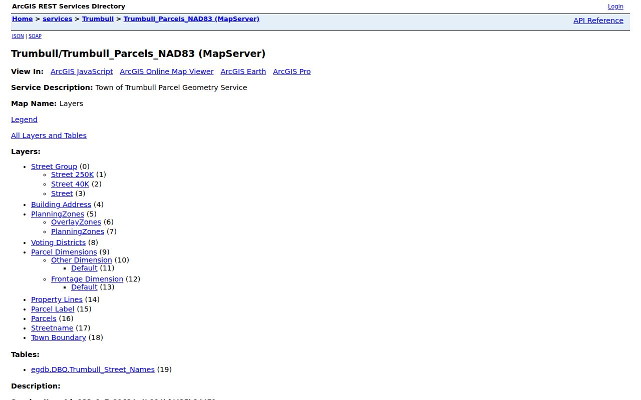
The image connects the block question to the official service, while Vision and the Town Clerk provide the person or title fields that the map alone lacks.
Trumbull Fire District and Village Clues
Vision's Fire District field uses L for Long Hill, N for Nichols, and T for Trumbull Center. GIS separately maps voting districts, planning zones, the town boundary, and other layers. Nichols, Tashua, Unity, Long Hill, and Trumbull Center also appear in church, directory, historic, or community sources. These labels overlap in useful ways, but they are not interchangeable neighborhood boundaries.
| Clue | Use it to find |
|---|---|
| Fire District L, N, or T | A service-area lead to check against Vision and GIS. |
| Nichols | Historic village, NIA resources, community properties, church and directory references. |
| Tashua or Unity | Church, cemetery, planning, place-name, or historical context. |
| Trumbull Center | Census-place or local geography clue, not the whole town. |
Trumbull Community Resources Near a Block
The Nichols Improvement Association is a verified public community route. It describes a 501(c)(3) mission to preserve the physical, cultural, and recreational resources of historic Nichols, residents within the Nichols Fire District, and 42 acres of named community properties. Its public materials identify Nichols Green, Bunny Fountain, Five Pennies Playground, Nichols Lawn and Gazebo, Frog Pond, Moore Ball Fields, and Starkweather House. They do not publish a public member roster.
The Nichols Fire community-resources page links Town services, Long Hill Fire, Trumbull Center Fire, NIA, Pinewood Lake Association, EMS, and Police. Long Hill Garden Club is another public civic and conservation network, founded or federated in 1941, with members across Trumbull and nearby towns. Organization geography can help explain a block's public context, but membership and address information should come through the organization's own public contact route.
The community-resource network is shown here:
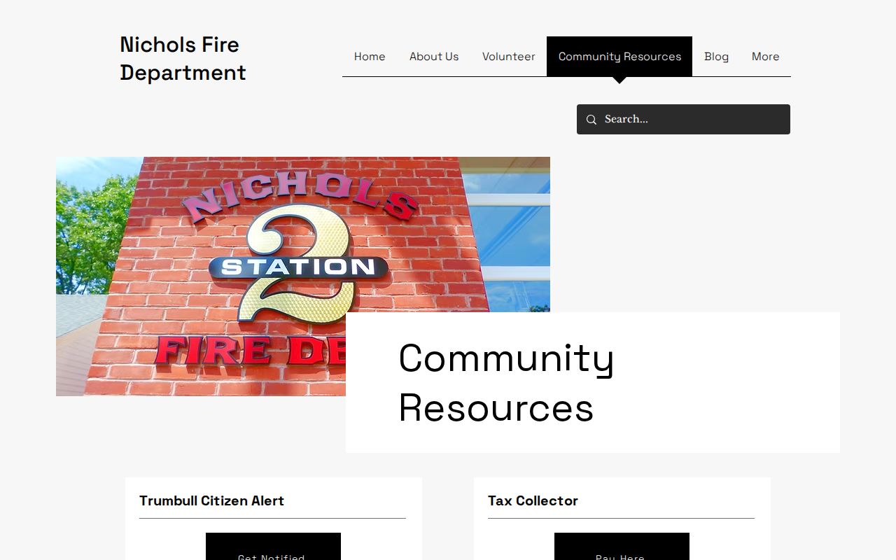
Use a public event, mission, or contact page to understand an area. Do not convert an organization's service area into a list of nearby people.
| Organization or area | Public route |
|---|---|
| Nichols Improvement Association | Public contact and membership information; no roster located. |
| Pinewood Lake Association | Listed by the Nichols Fire community-resources page; separate roster not confirmed. |
| Long Hill Garden Club | Public organization site; no member roster located. |
Trumbull Planning and Neighborhood Context
The Plan of Conservation and Development describes Trumbull as nearly built out and emphasizes neighborhood character, a more identifiable Town Center, and the Pequonnock River Trail. The plan update launched in November 2023. A 2025 to 2026 trail and Long Hill Green infrastructure effort shows how planning notices, parcels, sidewalks, and public meeting records can surround the same block question.
Planning context is not resident evidence. A project notice can identify a public contact, date, or parcel lead, but it does not establish ownership, occupancy, final approval, or completion. Search the Town archive by street, project term, department, and date, then save the notice and any attached document.
The Town's planning material also gives a useful caution for neighbors. Trumbull is described as nearly built out, with neighborhood character, a more identifiable Town Center, and the Pequonnock River Trail among the planning priorities. A trail, sidewalk, park, or community garden can explain why several parcels appear together in public notices, but the project record still belongs to the agency and date that created it.
The official planning route provides the broader neighborhood frame:
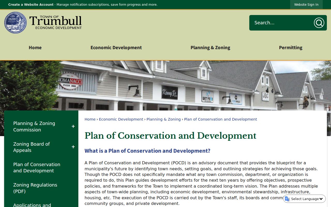
The page helps explain place and infrastructure without turning planning geography into a people roster.
Trumbull Voter and Historic Block Records
A matched voter lookup can provide registration or polling information, but the public form is town, name, and date of birth based. It is not a public block roster. Residential addresses may be suppressed, and the statewide file carries a $300 fee plus permitted-use restrictions. Treat a no-match as ambiguous.
For earlier neighbors, the Library of Congress telephone runs from 1930, 1933 to 1935, 1940 to 1945, 1955, 1956, and 1961/62 can show listed subscribers and businesses. The library's local-history collection, State Library, FamilySearch, churches, cemeteries, census sources, and Historical Society add historical layers. A block's past is assembled from dated sources, not one continuous directory.
Official Sources and Compiled Neighbor Tools
Compiled neighbor tools may appear faster because they combine many data feeds, but their dates, source chain, and identity matching can be hard to inspect. Official Trumbull and Connecticut sources take more steps and often split the question across custodians. That is a useful trade when the goal is to verify a parcel, understand an old block, or contact a public organization without publishing private details.
| Approach | Strength | Limit |
|---|---|---|
| GIS and Vision | Traceable parcel, building, owner-field, and district clues | Does not list every occupant or household member |
| Deed and recorded map | Legal title and parcel relationship evidence | May require account, counter, fee, or certified-copy route |
| Community organization | Public mission, place, events, and contact route | No public member roster located |
| Compiled neighbor category | May combine many address and name feeds | Source dates, errors, and lawful-use limits may be unclear |
Privacy Limits on Trumbull Neighbors
A neighbor lookup cannot lawfully defeat Safe at Home, voter privacy, C.G.S. §1-217 redactions, protected vital fields, sealed or juvenile records, or restricted court and probate documents. A parcel owner may not be an occupant. A community association may have members who never appear in a public roster. A map can show adjacency without showing a person's presence.
Use the smallest record needed for a lawful personal question. If the goal shifts to a whole named street, follow the address chain in the Trumbull street directory. If a record is wrong, contact the assessor, Town Clerk, elections office, court, or organization that created it. Stop when a person has protected information or has not invited contact.
Lawful use. Trumbull neighbors can be researched through public parcels, maps, and community sources for personal and civic purposes. Do not use a result to stalk, harass, intimidate, or harm another person.