
Tracing a Trumbull Street
The most reliable street directory method is a short chain of identifiers. Start with the exact address in Vision, note the PID, MBLU, ACT number, owner field, and mailing line, then use those keys to move into GIS and the Town Clerk's land-record route. The address is a convenient search key. The legal description in a deed controls the title question.
- Run the street number and name in Vision's Trumbull search. If several cards appear, add an owner, PID, MBLU, ACT number, or street suffix.
- Save the parcel identifiers and compare the Vision location with its owner-of-record mailing line. They answer different questions.
- Open the Trumbull GIS viewer or its public ArcGIS service and inspect parcels, property lines, building points, labels, frontage, dimensions, planning, voting, and imagery layers.
- Carry the PID or Book & Page pointer to Trumbull RecordHub or the Town Clerk title-search counter. Read grantor, grantee, recording date, instrument type, and legal description.
- Ask Municipal Searches for the exact address, separating current or post-2013 requests from the pre-December 31, 2013 street-card file. Use a dated telephone directory only as historical subscriber evidence.
This chain finds ownership and property history. It does not produce a complete household list. A name that needs independent checks belongs in the Trumbull resident lookup, while historical address work is better served by the city directory collections.
Trumbull Address Records
Trumbull's address records are held by separate custodians. Vision supplies a parcel card and assessment vocabulary. GIS supplies geometry and districts. The Town Clerk holds land records and recorded maps. Building records use an address and permit number. The voter lookup is name and town based, not a public street roster. The tax collector is a phone or department route rather than a captured public street search.
| Record Set | Keeper | What It Shows | Access |
|---|---|---|---|
| Assessment parcel | Trumbull Assessor / Vision | Situs, owner field, mailing line, PID, MBLU, values, sale pointer | Public web search |
| GIS parcel map | Trumbull / MetroCOG | Polygons, buildings, property lines, districts, imagery | Viewer and REST service |
| Deed, lien, map | Town Clerk / RecordHub | Grantor, grantee, legal description, book/page, recording date | Account or title-search counter |
| Permit and street card | Building / Municipal Searches | Addressed work history, record numbers, older card clues | Veoci or PDF request |
| Voter lookup | Secretary of the State | Matched registration or polling information | Individual lookup; file use limits |
| Historic subscriber record | LOC / library / Historical Society | Dated name, address, exchange, business or classification | Dated scan or in-person collection |
Chaining these sets means preserving the exact source date. A 2025 assessment card, a 1955 telephone entry, and a 2026 voter result do not describe the same time. The street name links them for research, but the record type tells you what each one can prove.
Vision Fields for Trumbull Streets
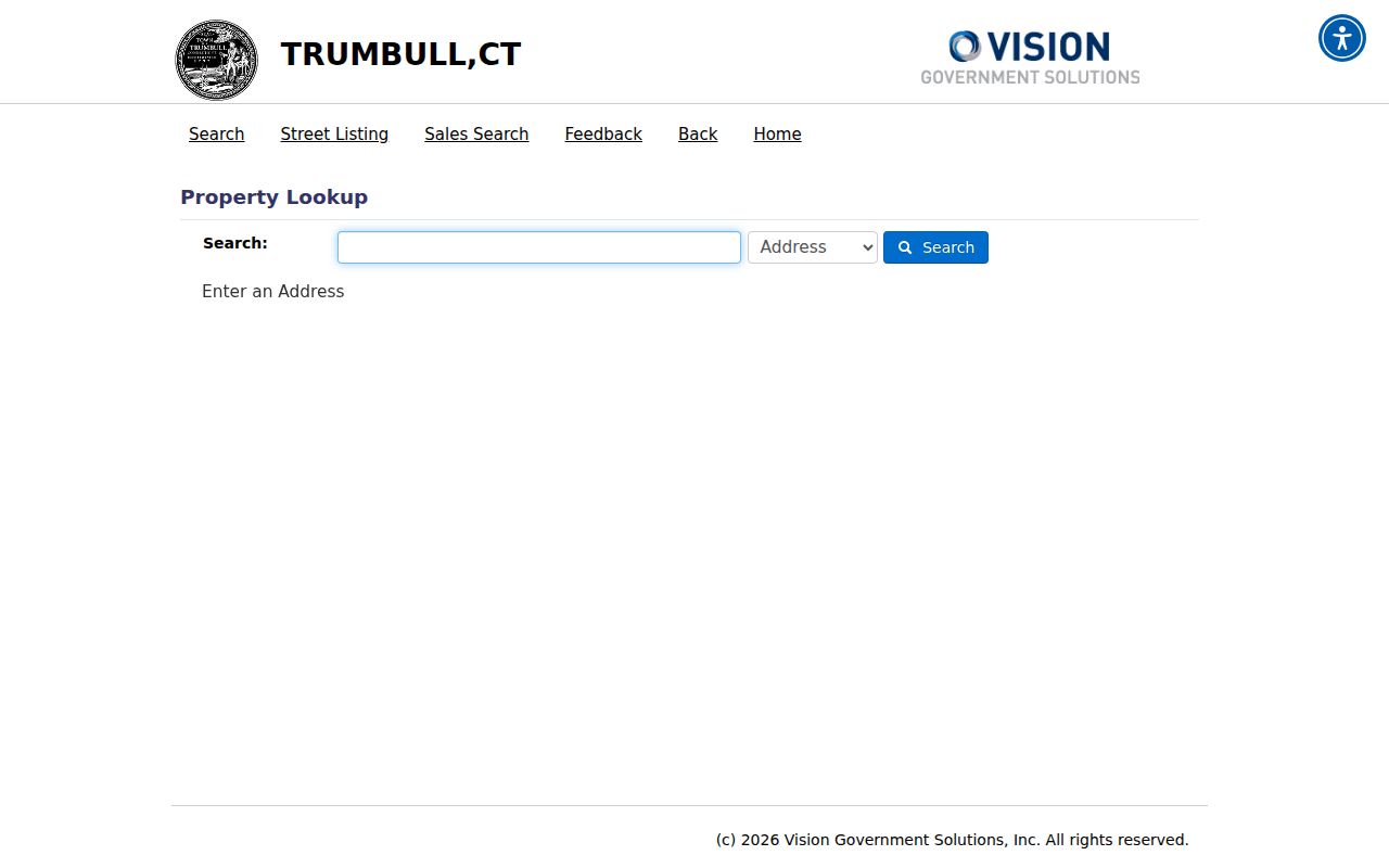
Vision's search screen is built around municipal identifiers. Address is the natural first choice, while owner name, ACT NUMBER, MBLU, and PID help resolve duplicate or partial matches. The MBLU breaks into Map, Map Cut, B, Bc, Lot, Unit, and Uc. The Street Listing tab is useful for walking a named road, and Sales Search isolates a different question. Trumbull's online-services page is another official route to the map and assessment tools.
| Search Field | Format | Street Use |
|---|---|---|
| Address | Text | Enter street number and name; add a suffix when needed. |
| Owner Name | Text | Locate an owner field across parcel cards. |
| PID / ACT NUMBER | Identifier | Carry a stable key to a card or follow-up request. |
| Map / Map Cut | MBLU parts | Use the recorded municipal map components. |
| B, Bc, Lot, Unit, Uc | MBLU parts | Refine a parcel when the address is not enough. |
The public search screen exposes no visible required flag, but specific inputs reduce false matches. The result card separates Location from Owner of Record. It may also show owner mailing address, market value, appraisal, building and land components, Fire District, neighborhood, sale date, sale price, Book & Page, ownership history, photo, sketch, and map links.
The search controls and the 2026 revaluation notice appear on the official assessor route:
Use the displayed identifiers as a bridge, not as a claim that an owner lives at the parcel.
Trumbull Parcels on the Map
Trumbull GIS and the MetroCOG ArcGIS service add the shape that an assessor card cannot show. Layers identified in the research include parcel polygons, property lines, parcel labels, building addresses, dimensions and frontage, street names, town boundary, planning and zoning, voting districts, wetlands, soils, basins, and current or historical aerial imagery. Use the map to find the parcels that touch a street segment or face the same road.
The interactive viewer is a browse and click tool. The unattended capture did not expose a selected-parcel result or exact buffer, measure, or select controls, so do not promise a radius search. The public REST service lists layer metadata and query support, but the Town Clerk's legal description remains the controlling source for a boundary or title question.
- Parcel
- A mapped property unit with a municipal identifier and assessment record.
- Situs address
- The location label tied to the mapped parcel, distinct from an owner mailing line.
- Plat
- A recorded map that can show subdivision or parcel relationships; the Clerk may hold one if it exists.
- Criss-cross directory
- A historical arrangement by address, phone, or neighborhood that may point to a listed subscriber.
Turn on one layer at a time and save the layer name and date. A parcel line can show adjacency, while a deed or recorded map is needed for legal access or title.
Reading a Trumbull Parcel Card
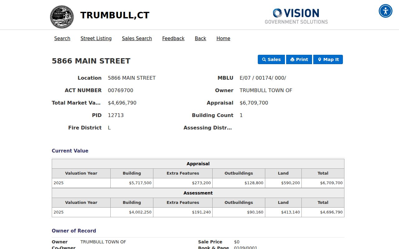
A captured Vision card for Town Hall at 5866 Main Street is a useful field example without standing in for a private household. It identifies PID 12713, MBLU E/07 / 00174/ 000/, ACT NUMBER 00769700, owner “TRUMBULL TOWN OF,” Fire District L, and neighborhood 100. The card displays a 3.12-acre parcel, valuation history, building and land components, a photo, a sketch, and a Book & Page pointer.
The card shows a sale date of July 2, 1956, sale price $0, and Book & Page 0109/0001. That pointer leads to a recorded instrument question. It is not the deed image. The displayed 2025 appraisal and assessment are tied to the valuation year and should not be compared to another year without retaining the date.
The Town Hall sample card can be checked at the official parcel URL:
When a different street card is found, record the same fields, then compare the parcel geometry and legal-record pointer before drawing a conclusion.
Trumbull Permits and Street Cards
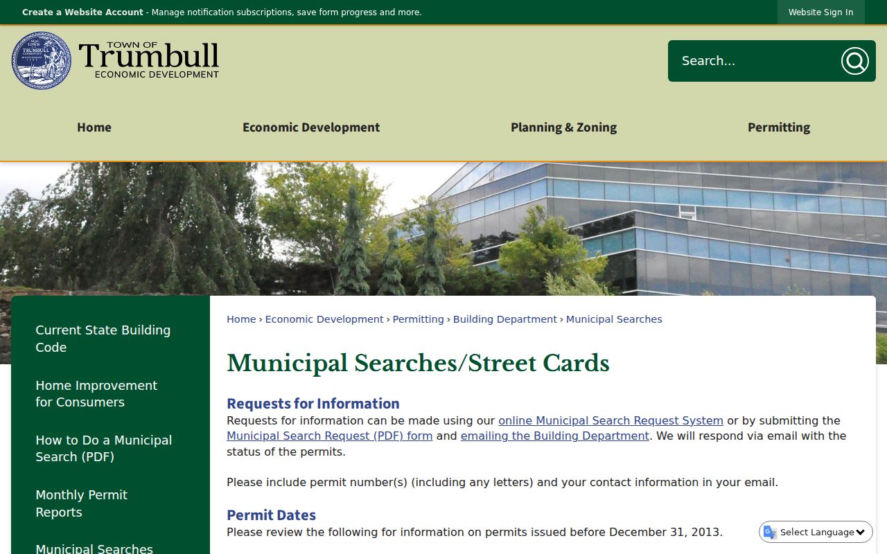
Municipal Searches is separate from Vision and RecordHub. Its current route uses an online Veoci workflow or an official PDF. The form asks for requester name and email, the exact address for permit search, residential or commercial property type, requested permit record numbers, comments, and a commercial-search acknowledgment when applicable. The response or status is emailed.
The important local boundary is time. The request form generally describes current or post-2013 material, while cards before December 31, 2013 are alphabetized by street, including Main Street. Ask for both routes when a house history crosses the cutoff. The Town FAQ also warns that a plot plan may not be held by the Clerk and that the Building Department may have major-addition or deck records.
The municipal-search page explains the split, and the official request PDF shows the fields that must accompany a permit inquiry:
Commercial searches may carry a $0.50-per-page copying fee. Confirm the current amount and payment route with the Town before sending a request.
Trumbull Deed Chain by Address
RecordHub is the official online land-record route, but the local page inspected in research exposed a login screen rather than an unauthenticated grantor-grantee result. The Cott Systems RecordHub overview describes the vendor's indexed-record and image service, but it does not supply the missing Trumbull backfile date. The Town Clerk is open to title searchers, and the FamilySearch and State Library catalog supplies historic Trumbull land-record coverage from 1798 to 1911, with a general index through 1910 and microfilm notes reaching about 1900.
Start with the current Vision Book & Page or parcel identifier. In the deed index, look for the grantee who acquired the parcel, then search that person or entity as a grantor in the next earlier transfer. Keep recording date, instrument type, book/page, legal description, consideration when shown, and any map reference. A trust, estate, corporation, married name, or middle initial may change the indexed form.
Documents received on or after July 1, 2025 have a listed land-record fee of $70 for the first page and $5 for each additional page, with other charges possible. The Town Clerk FAQ is the local fee and title-search check, and the Town's PropertyCheck notice describes free name, property, or parcel alerts. Confirm the current schedule before payment. A deed establishes a recorded transfer, not occupancy. The full backward trail is handled on the past-residents page.
Trumbull Place Names and Districts
Street research in Trumbull benefits from old place terms. Nichols, Tashua, Long Hill, Unity, Trumbull Center, North Stratford, Huntington Turnpike, and Main Street appear in historical, church, fire-district, planning, or directory sources. The terms do not all describe the same boundary. They can be a village name, a service area, a church reference, a directory locality, or a mapped district.
Vision uses Fire District codes L for Long Hill, N for Nichols, and T for Trumbull Center. GIS separately maps voting districts and planning zones. Use the code as a clue, then check the relevant map layer. Do not replace a parcel boundary with a neighborhood label.
| Clue | Best follow-up |
|---|---|
| Nichols or Tashua | Library, church, cemetery, Historical Society, NIA, and directory searches. |
| Long Hill or Trumbull Center | Vision Fire District field, GIS layers, planning, and current address. |
| North Stratford or Bridgeport District | State Library guide, probate chronology, historic directories, and older indexes. |
Historic Subscribers on Trumbull Streets
Library of Congress scans provide dated regional telephone books for Trumbull: 1930, 1933 to 1935, 1940 to 1942, 1943 to 1945 classified listings, 1955, 1956, and 1961/62. A listing may include a surname, initials, street address, exchange, number, occupation, business heading, or additional listing. Search the locality index first, then preserve the book date and page.
These books are not continuous street rolls. An unlisted number, a nontelephone household, a business line, or a gap between editions can explain a missing name. The Trumbull Library official page does not confirm a local reverse or criss-cross run, so ask the Information Desk for the exact year and terms. A dated subscriber entry can help bridge a deed, probate, church, or cemetery clue, but it cannot establish a current resident.
Trumbull Street Directory Limits
A street directory can show parcels and certain public record pointers, but it cannot show every household member, private utility customer, or protected motor-vehicle address. An owner-of-record may be a trust, estate, business, or municipality. A mailing line may be elsewhere. A registered voter may be suppressed. Map adjacency does not prove shared access, and a historic subscriber may represent one listed line rather than a whole household.
Use the source that answers the precise question. The assessor is for municipal parcel data, the Town Clerk for recorded instruments and certified copies, Building for permit history, elections for permitted voter questions, libraries for historic shelves, and the police or state agencies for their own reports. “Not found online” means use the documented counter, phone, mail, request, library, or archive fallback, not that the person or record does not exist.
Lawful use. Trumbull street and address records support personal, lawful research, genealogy, and civic questions. Do not use them to stalk, harass, intimidate, or harm another person.